Manivannan K[GDAL-Python] Create & save geotiff using gdal in pythonIn this tutorial, we will see how to create & save an numpy array data as geotiff.2 min read·Nov 13, 2022--1--1
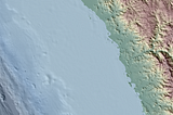
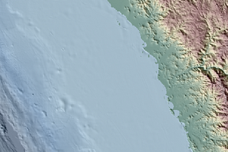
Manivannan KDynamic Shaded Relief map with Leaflet and Cloud Optimized GeoTiff (GEBCO Global Bathymetry) —…Last weekend, I stumbled upon an interested thought: How can we generate a custom basemap for an web application with terrain/bathymetric…4 min read·Jun 8, 2022----
Manivannan KSimple MapTileServer using NodeJs & PostGIS — Part 2: Drawing Vector data on canvasIn the Part 1, we have seen the fundamental calculations involved in converting geographic coordinates to pixel coordinates. Now, let’s…3 min read·Mar 22, 2021----
Manivannan KSimple MapTileServer using NodeJs & PostGIS — Part 1: Core conceptsYou are wondering, Why are we doing this!!? There are many commercial and opensource softwares like ArcGIS Online, Enterprise or Geoserver…4 min read·Mar 22, 2021----
![[GDAL-Python] Create & save geotiff using gdal in python](https://miro.medium.com/v2/resize:fill:160:106/1*kYm847qWDxIU6cLEt238uA.png)
![[GDAL-Python] Create & save geotiff using gdal in python](https://miro.medium.com/v2/resize:fill:320:214/1*kYm847qWDxIU6cLEt238uA.png)